case studies
A successful project cannot happen without passion, strategy, and commitment. We empower innovation and unique experiences that set your company apart from the competition.

We will do everything possible to continue working together to get the best results. It's not just about thinking outside the box. It's about turning that box inside out to get the next new gem. Your company becomes not just a player, but a game-changer, redefining standards and exceeding expectations.
Take a moment to review our showcase below!
Ortho-Mapping & Photogrammetry | Many landscape or architectural projects have clients who aren’t local. They can look at plans and blueprints, but it can be difficult for them to conceptualize the completed project before it's realized. Which can't identify potential issues, ensuring transparency and accountability onsite.
Bottom Line: It's virtually impossible to imagine the area's appearance if the progress hasn't been recorded.
Solution: We can provide a fast, cost-effective, and highly accurate solution for capturing detailed aerial data over large areas in a short time. Our gears are equipped with advanced sensors and GPS w/RTK, we can deliver precise geospatial data, progress tracking, and detailed analysis. Which will reduce safety risks, enhance data quality, consistency, and ensure shareholders receive comprehensive insights to meet their project needs. Let us capture the data you need with the right solution you require!
Benefits of Aerial Data Imagery
• Surveying construction sites weekly/monthly from inception to completion for investors
• Creation of 3Digital models of your project site progression as a digital twin data file
• Analysis of stockpiles and geospatial data on your sites
Audit & Inspections | Drone inspection or site audit with high-resolution imaging takes a fraction of the time, can be done in almost any weather, and is much safer than sending a roofer to the top of a house. Drone roof inspection cost is certainly very reasonable with UASSIST services and you get so much value for your money, including high-resolution video and photographs that map out a roof like never before.
Solution: UASSIST, your unmanned aerial specialist can conduct a drone roof inspection in a fraction of the time and receive advanced imagery like nothing before. Take a moment and review various customer projects below as well.
Highlight Some Benefits
• Aerial inspections are the most accurate with measurements and calculations
• Drone roof inspection is a much safer and more cost-effective option
• Aerial drone scans/surveys are much faster than traditional conventions
Aerial footage & Imagery | Real estate and commercial aerial imagery have become more standard for real estate marketing over the past several years. By showing all the amenities and facilities that surround the property, prospective buyers can get a real feel of the investment they are considering. A simple aerial video can give them exactly the security they need to take the next step.
“Properties with aerial footage are 80% more likely to sell... And that number is only increasing." - Zillow.com
In the world of real estate, drone photography has countless advantages! Demonstrate just how close your property is to a shopping center or show how the chirldren really can walk through the park to get to school. These simple details can make all the difference in closing a sale.
Solution: UASSIST, our real estate drone imagery shows the full scale and lifestyle. They give viewers a feel for the neighborhood and offer a unique way to highlight its amenities. Aerial videos offer a 360-degree visual representation of a property. Take a look for yourself.
Unique Benefits of Aerial Imagery
• Give buyers a better feel of the property and neighborhood
• Offer comprehensive views of the building and street
• Show proximity to schools, stores, and other amenities
• Assure quality of the roof, gutters, pipe-jacks, vents, chimneys, panels, landscaping, etc.
Creative Solutions | Corporate video production and aerial drone photography is an enormously powerful tool for showcasing your business, your location, and your process to clients. Of course, aerial photo/videography is increasingly used in several industries.
At UASSIST, we used our professional skills to create a few footage for the news, social media and corporate outlets across the United States. So, take a peek and add some impressive aerial imagery/videos to your marketing campaign or special event while you are here. You won't be disappointed.
Benefits of Professional Enhance Video/Imagery
• Enhance Touchup
• Clutter or unwanted objects Removal
• Graphic-Brand Package for marketing/event projects
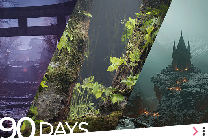
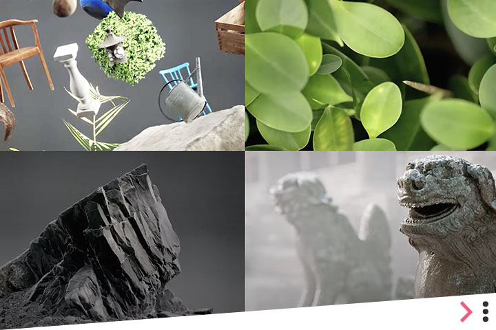
Megascans, Sketchfab & Fab.com
What you can do with the world's largest 3D asset libraries and Unreal Engine. Imagine taking a fraction of the time it currently requires–days—with these high-quality online 3D models. The result is WOW!
Building New Worlds with Epic
With the New Unreal 5.5 showcasing some of the ecosystem tools of choice for virtual production in the television or film industries and beyond. It’s a place for creatives to make ideas into reailty, in real-time.
RealityScan Showreel
RealityScan community creates some fantastic, ultra-realistic 3D models and environments. Now they just release a new version with imporved features like aerial LiDAR and ground scans support etc.
Let us help answer your questions or chat with Ariel, our Ai-Bot on the right-hand corner. We're here to assist!
Hours of Operation: Tue - Sat | 8am - 5pm

© 2021-26 UASSIST IS A DRONE SERVICE PROVIDED BY KWARE DESIGN, LLC. ALL © & TM MENTIONED BELONG TO THEIR RESPECTIVE OWNERS. ALL RIGHTS RESERVED. ALL OPERATIONS BY KWARE DESIGN, LLC. COMPLY WITH ALL FEDERAL AVIATION ADMINISTRATION AND STATE LAWS.